
Bowral to Bundanoon
via Moss Vale, Sutton Forest and Exeter (36km)
April/May 2026
Words and Photographs Tony Sheffield
It’s 12 years since Highlife’s chief photographer TONY SHEFFIELD wrote his first Southern Highlands drive series, so we decided it was high time he revisited his favourite tours for an update. We’ll run them over the next year – none take more than an hour without stops. Enjoy the ride.
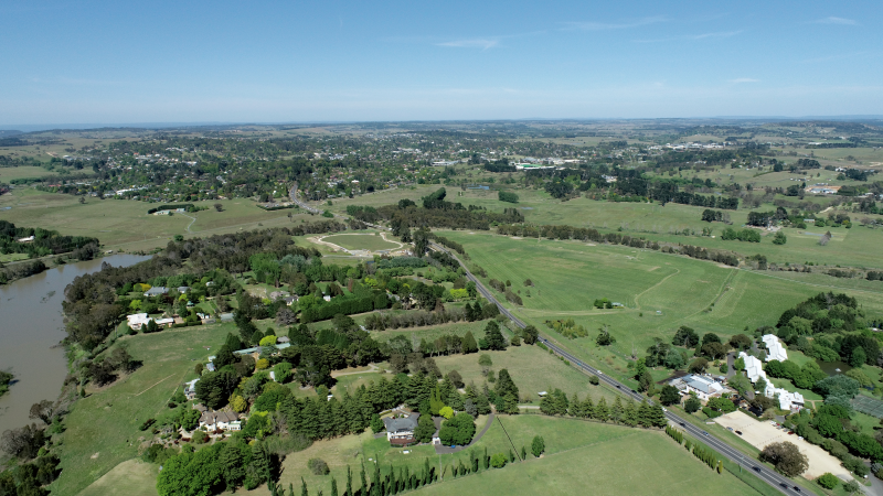
DRIVING THROUGH the Southern Highlands, it can feel like every way in whatever direction is ‘the pretty way’. Many locals, however, get stuck in routines and forget to explore new scenic routes. Visitors learn about villages to visit, but not necessarily our beautiful back roads.
As Highlife’s chief photographer over 25 years, I have driven up and down almost every hill and dale in the region. I hope this updated series will open your eyes to hidden country lanes and back roads, historic sites and verdant views, misty peaks and rustic homesteads. I’ll also visit the region’s many towns and villages.
The first drive will take you through Burradoo, Moss Vale, Sutton Forest and Exeter, ending in Bundanoon.
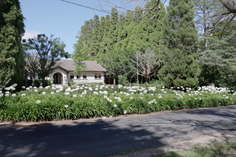
Head south from Bowral on the Moss Vale Road and continue for about 1km to Burradoo, turning left into Links Road. The left-hand side of this road is home to the sweeping vistas and fairways of the 18-hole par 69 Bowral Golf Club, established in 1901. Among many fine homes on the right is Links House Hotel and restaurant, built in 1928, which overlooks the golf course.
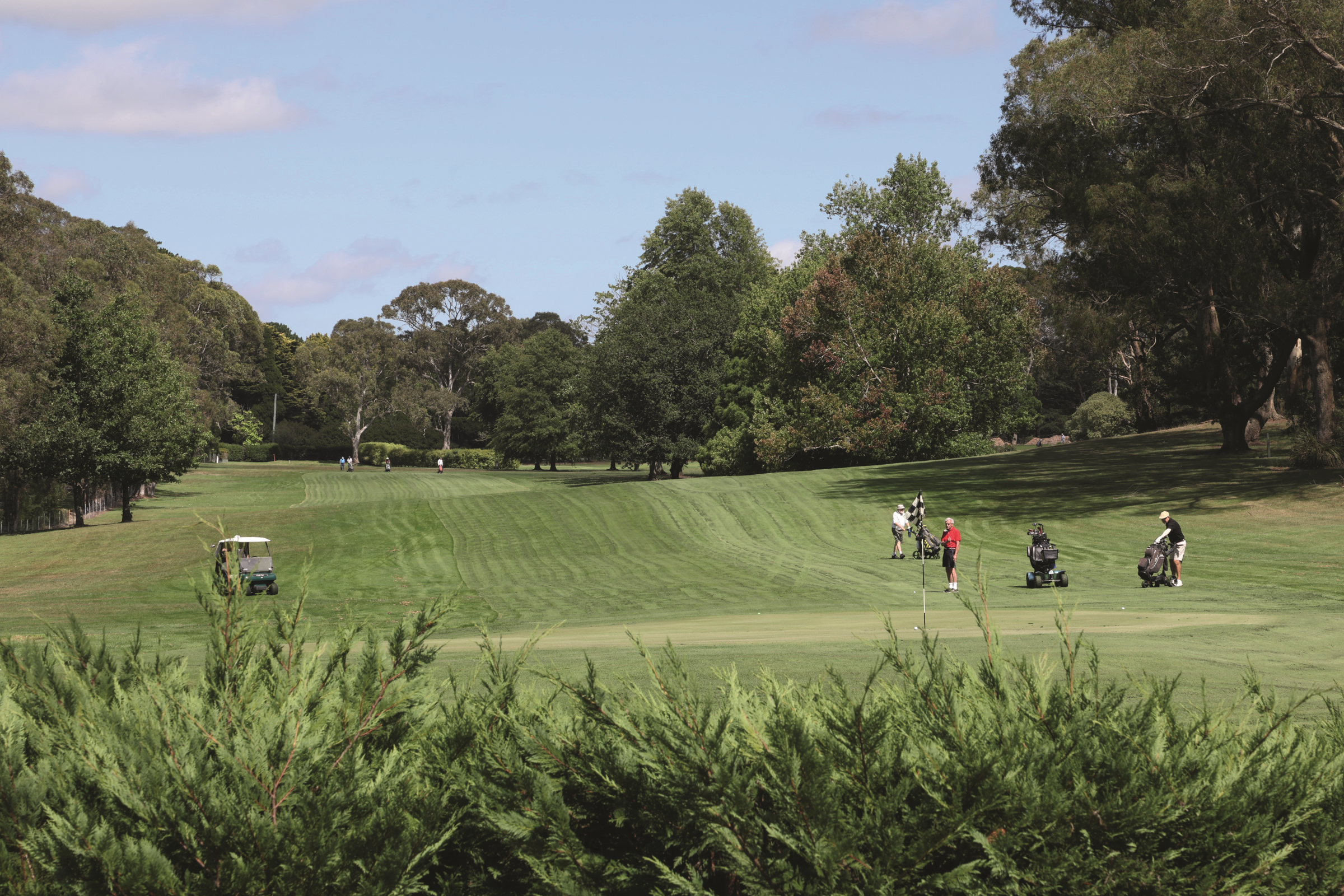
At the T-intersection at the end of Links Road turn left into Burradoo Road, still following the golf course, and at the end of the road turn right onto Kangaloon Road. At the intersection of Old South Road and Kangaloon Road is the Southern Highlands Botanic Gardens (open daily 9am-5pm, entry is free). From this roundabout turn right into Eridge Park Road.
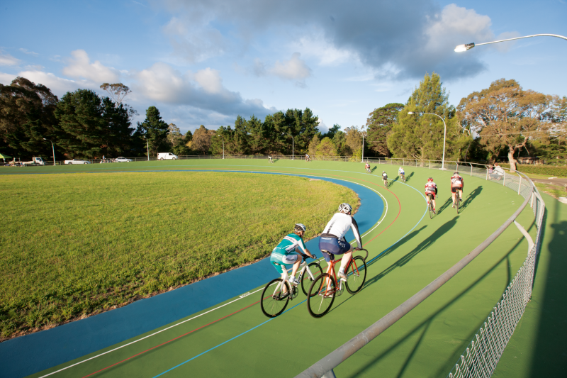
Further along on the left are gates leading to Hartzer Park, a conference and retreat centre owned and run by the Daughters of Our Lady of the Sacred Heart. The property, previously called Eridge Park, was purchased for the sisters in 1947. Further on the right are the playing fields of Chevalier College and the Eridge Park Sporting Complex, which has a velodrome, netball courts and a rugby field – the home of the Bowral Blacks Rugby Club.
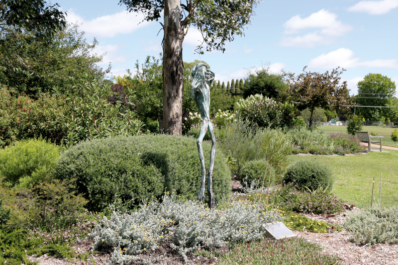
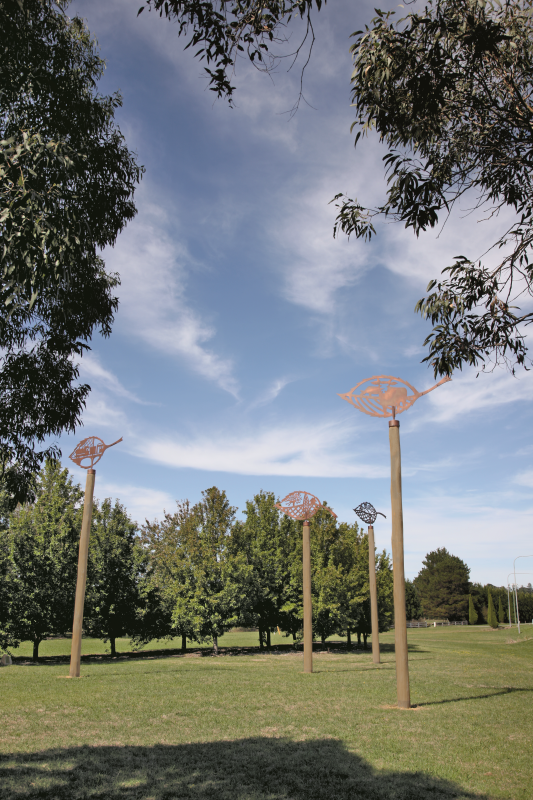
As Eridge Park Road comes to an end, on the left is a conservation park dominated by a huge Paddys River Box eucalypt, once very prominent in this area but now scarce and on the vulnerable species list. Also in this park area are the sculptures Winds of Change by Bundanoon artist Jane Cavanough, four laser-cut wind vanes with a metallic copper finish set on tallow wood poles depicting the settlement history of the area.
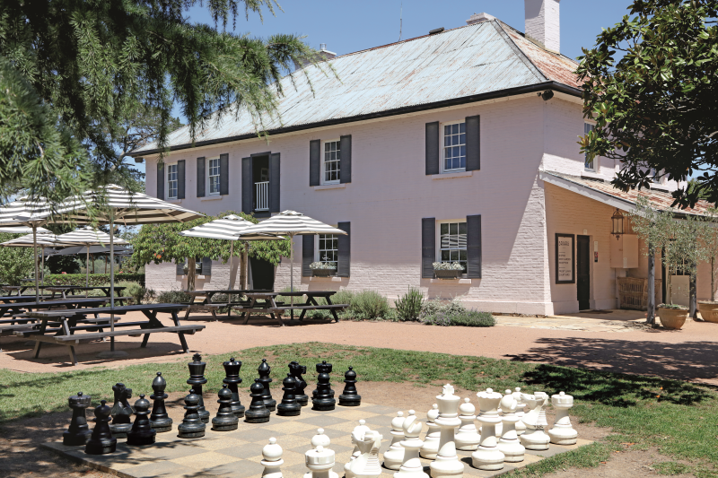
Turn left at the T-intersection toward Moss Vale passing the pink historic Briars inn. Briars started life as The Royal Oak, an inn built in 1845 by Charles Throsby, nephew of the explorer Dr Charles Throsby.
Bong Bong Common, where gently rolling river flats hug the Wingecarribee to the left and right of the road, became the first European settlement in the Southern Highlands in 1821. Then known as Bong Bong, it suffered regular flooding. No original buildings remain and today it is part of a riverside cycle path and home to the Southern Highlands Model Aero Club on the right. Cecil Hoskins Nature Reserve is to the left and great for riverside walks, cycling and bird watching. A new play area opened in 2023, and there is plenty of parking and good toilet facilities.
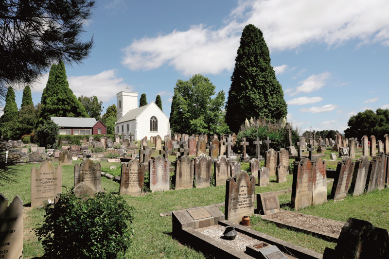
Further along the road on the left is Christ Church Bong Bong, the oldest church building in the Highlands, built by Charles Throsby junior in 1845 (the entrance is off Church Road). The small white rendered church has beautiful stained glass windows. Historic gravestones include Throsby family members and explorer Joseph Wild (the locality of Wildes Meadow was named after him).
Continue along Moss Vale Road over Bong Bong Hill and the Robertson to Moss Vale railway bridge to the roundabout and turn left onto the Illawarra Highway, then right into Elizabeth Street, which has good examples of 1920s weatherboard cottages and Californian bungalows. Cross Valetta Street and continue to the end where you will find the corner complex of the Wingecarribee Shire Council Chambers, library and the War Memorial Aquatic Centre.
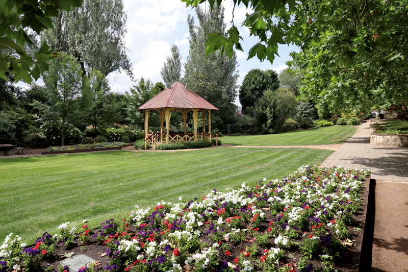
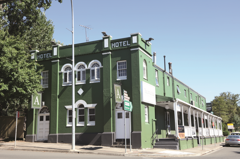
Turn right at the council chambers into Kirkham Street and at the lights turn left to rejoin the Illawarra Highway (Argyle Street), passing Leighton Gardens on the right. After driving under the heritage listed Great Southern Railway iron rail bridge, erected in 1914, you’ll pass The Argyle Hotel on the right. Originally called The Carrier’s Rest, the hotel was for many years named after Jemmy (Jimmy Moss), a former convict who became a servant and herdsman on the Throsby Estate at Bong Bong. Jemmy had named the land he worked on Moss Valley; later the area became Moss Vale.
Continuing along the Illawarra Highway the land drops and becomes Sutton Forest. Turn left into Kater Road for a peek at Mount Broughton Golf and Country Club and historic Peppers Manor House (great for lunch or coffee), once part of an additional land grant to Charles Throsby.
Return to the Illawarra Highway, and shortly afterwards you will pass the understated tree-lined entry to Hillview Estate. Built in the 1870s, Hillview was the summer country residence for NSW governors between 1882 and 1957. In 2024, The King’s Foundation Australia acquired Hillview Estate, stating that its restoration would be “the first flagship regeneration project for The King’s Foundation Australia, as well as the base for developing the charity’s activities”.
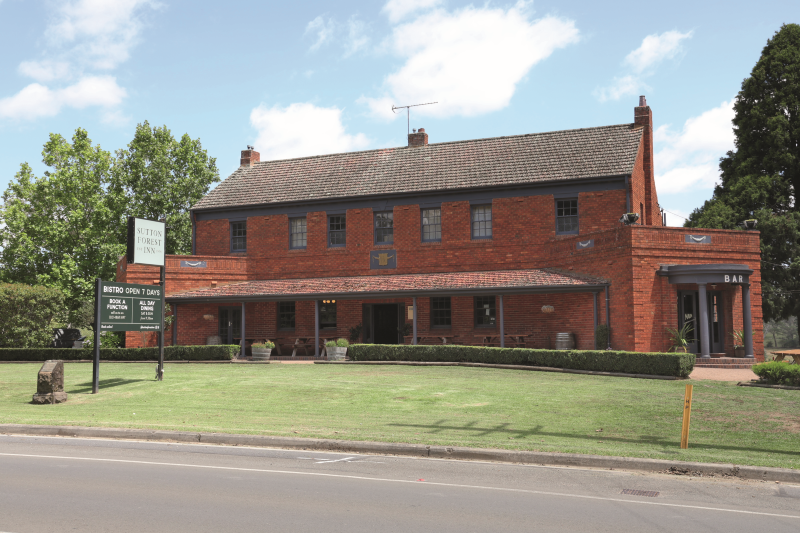
The 1936 Sutton Forest Inn, known locally as ‘The Sutto’, has a beer garden overlooking the countryside and provides a real country pub experience.
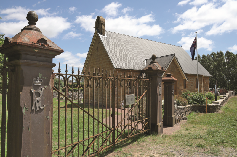
Shortly after, on the right, is the sandstone All Saints Anglican Church, which has many historic gravestones and an imposing set of Victorian gates that were removed from Hillview in 1958.
Exeter Road is the next turn on the left, where you’ll find The Sutton Forest Country Store and Bookshop (open weekends 10am-3pm) and perhaps the finest Scottish shortbread you can buy, made by the owner.
Follow this road and take in the views of cattle and equine properties nestled in the undulating countryside leading to the English-style village of Exeter. St Aidan’s Church, built in 1895, is on the right, opposite the 1902 village hall.
In the centre of the village is Middle Road which has the Exeter General Store and cafe, Halcyon Cottage (c.1880) and The Village Pump Antiques store for a treasure hunt. Opposite is the quaint railway station, which opened in 1878 as Badgerys Siding, being renamed Exeter Railway Station in 1890.
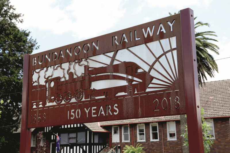
From this point, Bundanoon is about seven minutes along Bundanoon Road, which changes to Railway Parade in Bundanoon. As Highlands villages go, there is little this close-knit community does not offer, except perhaps plastic bottled water, which was banned in July 2009 by a village agreement that is still supported by the community. Bundanoon was the first town in the world to replace plastic bottles with free public bubblers.
The little village hosts some big events: every April there’s Brigadoon, reputed to be the largest Scottish Highland games gathering in the southern hemisphere, and in October, the Bundanoon Garden Ramble also attracts crowds in the thousands.
You can easily spend an hour in Bundanoon, or a whole weekend. There are antique and craft shops, cafes, and the 1922-built Bundanoon Hotel is a great place to unwind.
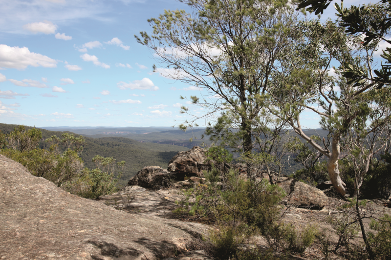
Morton National Park boasts many bushwalking trails, or you can simply drive to three lookouts. Leave the village via Church Street, which becomes Gullies Road through the free entry of the national park. The recently sealed drive (or walk) leads you through eucalypt forest and native bush to three lookouts; at each there is a choice of bush walks. I chose the spectacular 2km Lovers Walk to Bonnie View lookout to enjoy my ginger beer and Scotch egg.
Back Issue April / May 2026 (PDF Download)
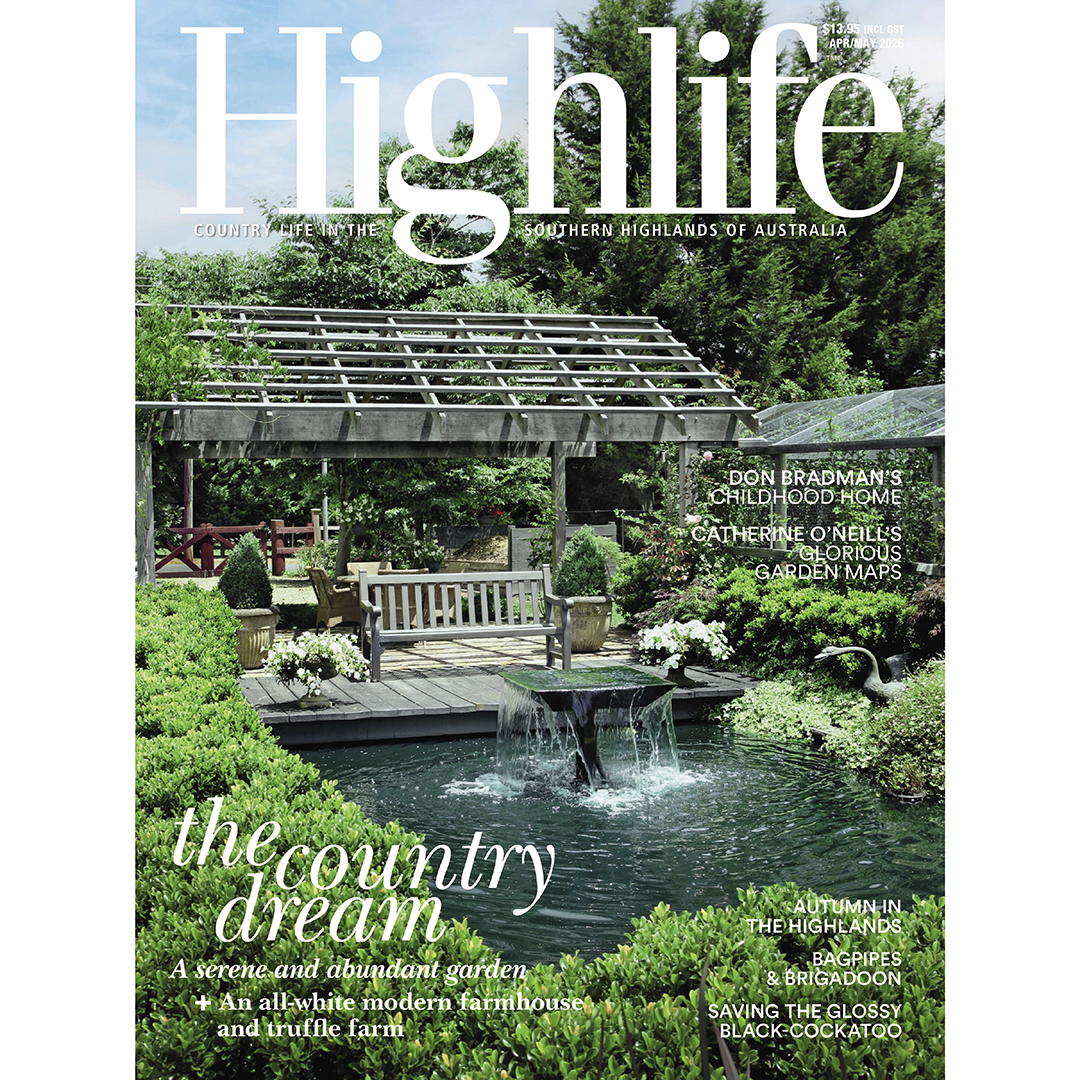
Relive the beauty of the Southern Highlands with this digital back issue of Highlife.
The white house
A dream to grow truffles led to Sue and Peter Woodward buying three hectares in Exeter and building an all-white modern farmhouse that makes the most of its setting and views.
A new innings
Cricketing legend Donald Bradman’s childhood home, where he honed his eye hitting a golf ball with a
cricket stump, has been transformed into accommodation.
Beauty in the detail
Catherine O’Neill’s skills in mapping and intricate watercolour techniques have taken her around Australia, the UK and Europe, recording estates and gardens in exquisite detail.
Grow for glossies
Since 2015, Southern Highlands bird lovers have been working to save a threatened local: the glossy black-cockatoo. We find out more about this flighty, fascinating, fussy feeder.
Creative abundance
After ‘downsizing’ to 1.3 acres in Exeter, Eleanor and John Dartnell built garden beds near the house, for interest and privacy, before expanding with aplomb. The result is blissfully inviting.
Upwardly mobile
Kirstine McKay explains the many upsides of helping edible plants grow vertically.
Springett’s centenary
If you know Bowral, you’ll know Springett’s Arcade, but you might not know the enterprising family business story behind it – or that it was once home to a cabaret and ballroom.
Up for a drive
The first in a new series of beautiful drives around the Southern Highlands takes you from Bowral to Bundanoon via the villages of Sutton Forest and Exeter.
Spice of life
Keen to immerse herself in Indian culture, Josephine Grieve joined 10 Australians on a healing and cultural experience in Kerala on India’s Malabar Coast.
This is a virtual product. Upon purchase, you’ll receive instant access to download the magazine as a PDF. A secure download link will also be sent directly to your email, so you can revisit and enjoy your issue anytime.